How to use these itineraries
Almería asks to be walked. Its historic centre is compact: between the foot of the Alcazaba and the harbour's edge, distances are measured in minutes, and almost everything essential fits on a map you can learn in an afternoon. The three itineraries in this guide are built one on top of the other: the first day sorts out the must-sees, the second adds memory, museums, the market and the sea, and the third leaves the old town for the landscape.
It pays to get the scale straight from the start. The first forty-eight hours unfold entirely within the city. The third day moves into the wider municipality — which stretches east as far as the Cabo de Gata salt flats — or straight out into the province, as with the Tabernas desert. That is no minor detail: it helps you work out transport and timings. And none of these proposals is a contract: they are starting points that each themed guide on Soy Almería expands at leisure.
24 hours: the essential city
A single well-spent day is enough to understand why this city is told from top to bottom: from the fortress to the shore, following the natural slope of the old town.
Morning: the Alcazaba and the Almedina
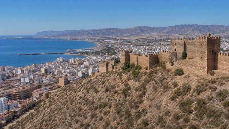
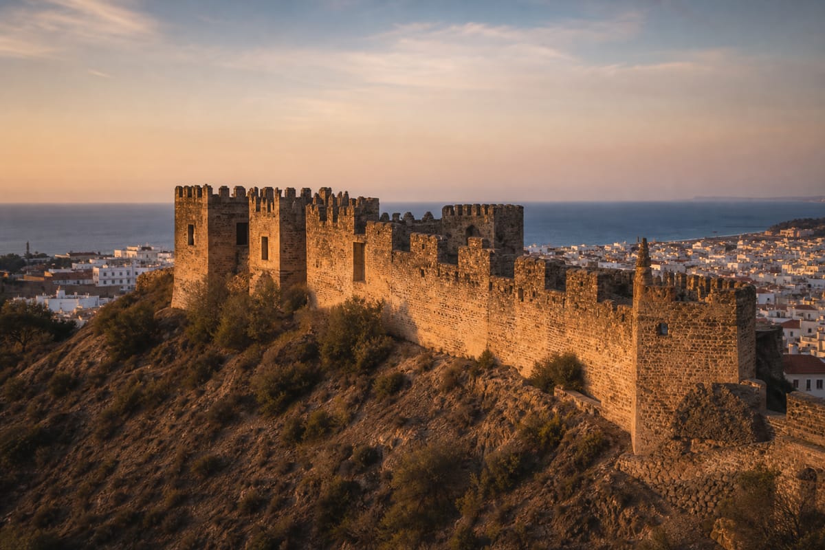
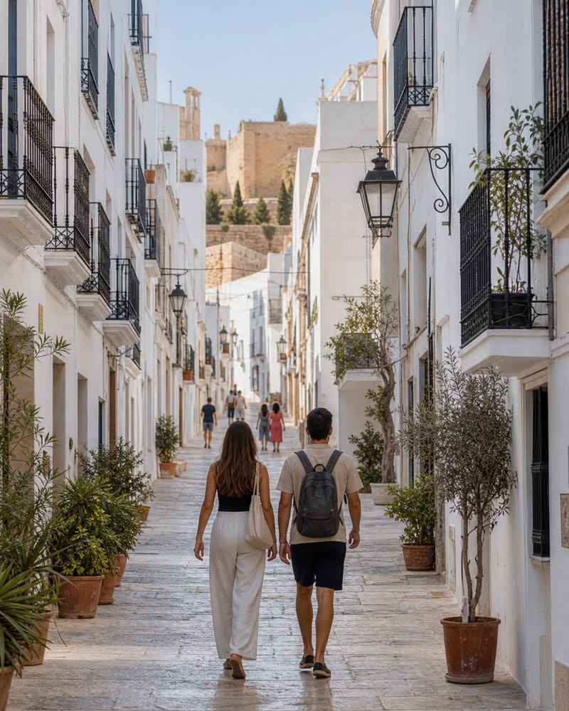
Start early, while the light is still kind to the slopes. The Alcazaba, one of the most extensive fortified Andalusi complexes in Spain, takes a couple of hours to explore, between cisterns, palace remains and ramparts overlooking the whole bay; visiting conditions change with the seasons, so check the official page before climbing up. On the way down, lose yourself in the Almedina, the quarter that preserves the layout of the old medina: narrow streets, whitewashed houses and the church of San Juan standing on the site of the great mosque. The full story of these stones is in the history and heritage guide.
Midday: bar counter, tapa and terrace
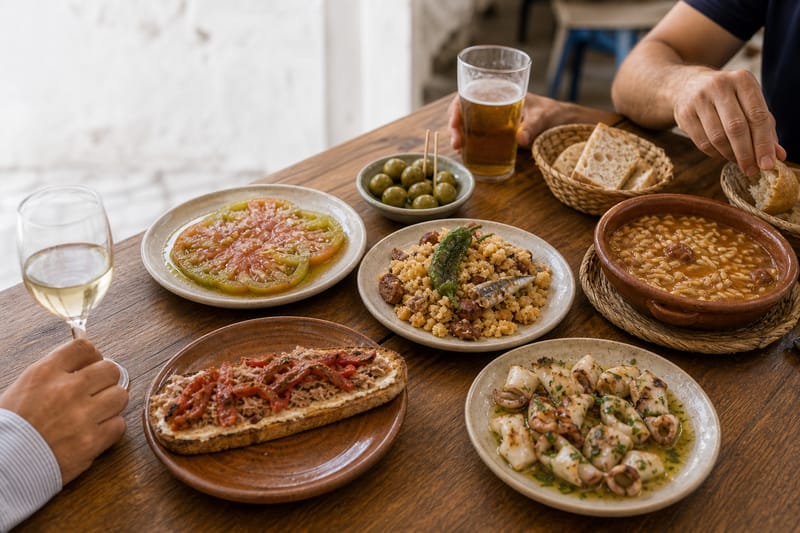
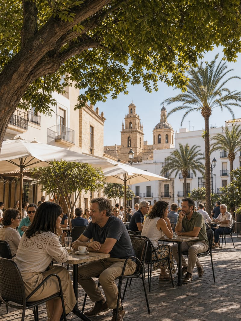
The centre solves lunch without booking or tablecloth: in many of the city's bars, your drink arrives with a tapa, often chosen from a menu of its own. The logic is social: you order, you share, you move on to the next counter. A chérigan here, some grilled jibia (cuttlefish) there, an octopus pipirrana to finish. The food and tapas guide explains the unwritten rule of the tapeo and the dishes worth seeking out.
Afternoon: the cathedral and the Paseo axis
The cathedral of the Incarnation sums up the local sixteenth century: a church also conceived as a fortress after the earthquake of 1522, with the Sol de Portocarrero looking out from one of its walls. From the square, the route continues naturally towards the Puerta de Purchena, the social crossroads of the bourgeois city, and heads down the Paseo de Almería between eclectic façades and long-established shops.
Sunset: iron over the sea
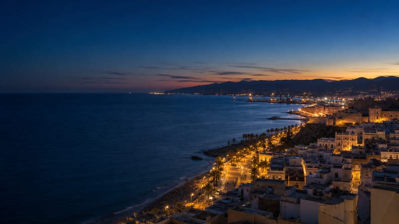
Finish where the city touches the water: the Cable Inglés, the ore-loading pier built between 1902 and 1904 and protected as a Bien de Interés Cultural (listed heritage), cuts its riveted silhouette against the last light over the bay. With the Parque Nicolás Salmerón and the harbour alongside, it is the best possible close to a first day.
The first Almería is learnt downhill: from the ramparts to the quay, with stops from bar to bar.
48 hours: history, table and sea
The second day goes underground, steps inside the museums and ends with your feet in the sand.
Start with the Civil War shelters: some four and a half kilometres of galleries dug nine metres beneath the city during the bombardments of 1937, with a former operating theatre included on the route. Visits are guided and places are limited: book ahead through the official page. Then choose a museum to match your curiosity: the Museo de Almería, the province's archaeological reference with Los Millares and El Argar at the heart of its story, or the Casa del Cine, the house where John Lennon stayed in 1966, which now tells the story of the city's relationship with film shoots; that story continues in the cinema and music guide.
At midday, the central market lays the local larder out on the counter: fish from the bay, vegetables from the Vega — with the tomate RAF as the emblem of the season — and the pulse of a city that still shops out loud.
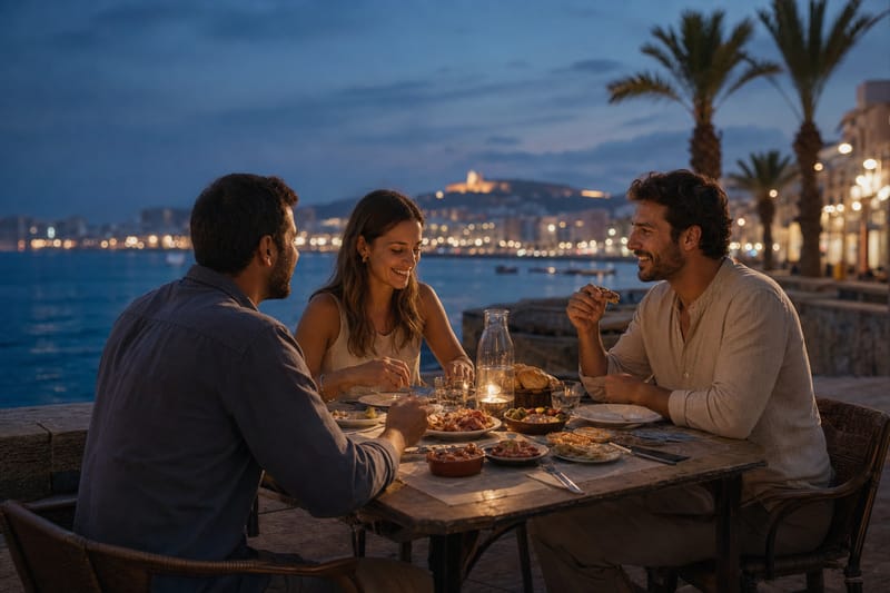
The afternoon belongs to El Zapillo: the city beach and the Paseo Marítimo work all year round as a high street beside the sea, with swimming in the warm months and strolling, terraces and bicycles the rest of the year. The sea and nature guide covers the whole coastline, from the city itself to the natural park.
Close the day with flamenco: the city's peñas (flamenco clubs), such as El Taranto or El Morato, keep alive a devotion tied to the cantes de Levante — the taranto is Almería's own form. Programmes vary through the year; check their official channels first.
72 hours: out into the landscape
With three days, the city opens onto its territory. There are two classic excursions, and both repay organising transport the day before.
Option A: the salt flats and the volcanic coast
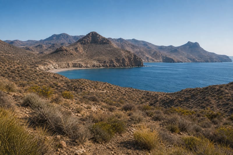
East of the city, the municipality stretches as far as the Cabo de Gata-Níjar natural park, which begins some twenty kilometres from the capital. The Salinas de Cabo de Gata salt flats still lie within the municipality: sheets of water, mounds of salt, the salt-workers' church and the hamlet of the Almadraba de Monteleva compose one of the most serene silhouettes on the Almería coastline. Depending on the season, waterbirds can be watched, flamingos included, always from the signposted points. Beyond lie the beach of San Miguel de Cabo de Gata and the coast's first volcanic reliefs.
Option B: the Tabernas desert
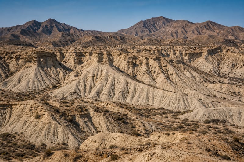
The other classic outing looks inland: the Tabernas desert, already in the province — not the municipality — with its gullies, its dry riverbeds and the memory of the film shoots that made this arid landscape famous. It is a full-day excursion best planned in advance, above all if you depend on public transport.
City, municipality and province: the Salinas de Cabo de Gata belong to the municipality of Almería, but famous park beaches such as Mónsul or Los Genoveses lie in the municipality of Níjar, and Tabernas is another municipality in the province. The natural park is shared between Almería, Níjar and Carboneras. Keeping that geography clear saves you from optimistic sums of distances and transport.
When to come
Data helps more than clichés. AEMET's climate normals for the Almería airport station (1981–2010 series) sketch an arid, mild climate: an average annual temperature of 19.1 °C, around 200 mm of rainfall and close to 2,994 hours of sunshine a year. None of that promises a perfect sky on any given day; what it does is explain habits.
- The terraces are in use for much of the year; in winter, a midday stroll is a mild pleasure.
- At the height of summer, it pays to invert the hours: monuments and streets early, shade and museums at midday — the shelters, underground, offer welcome cool — beach and terrace as evening falls.
- Swimming is concentrated in the warm months; the Paseo Marítimo, on the other hand, is walked all year round.
- Rain is rare, but it exists: a museum plan rescues any grey day.
If you can choose your dates, look at the festive calendar too, from the Noche de San Juan to the August Feria, explained in the festivals and traditions guide; the exact dates change every year and are confirmed on the official pages.
Getting there and getting around
Getting there is simple: the airport lies within the municipality itself, east of the city, and the train and bus station is a step away from the centre. Once here, the 24- and 48-hour itineraries need no vehicle: the old town is covered on foot and the seafront is within walking distance of the centre.
The third day calls for planning. Public transport towards Retamar, El Toyo and the salt flats exists, but it is limited and changes with the seasons; Tabernas, already in the province, lies beyond the urban scale. Check the up-to-date options on the official transport and tourism pages before deciding, or consider hiring a car for that day. In the natural park, park only in the designated areas.
Travelling with respect
This corner of the south-east is as photogenic as it is fragile. Three habits are enough to travel well:
- Protected areas: in the natural park, keep to the marked paths, do not cross the fences around the salt flats and watch the birds from a distance; dunes and steppes take years to recover from a shortcut.
- Water: with some 200 mm of rain a year, water is a scarce resource here; moderate use is part of the journey too.
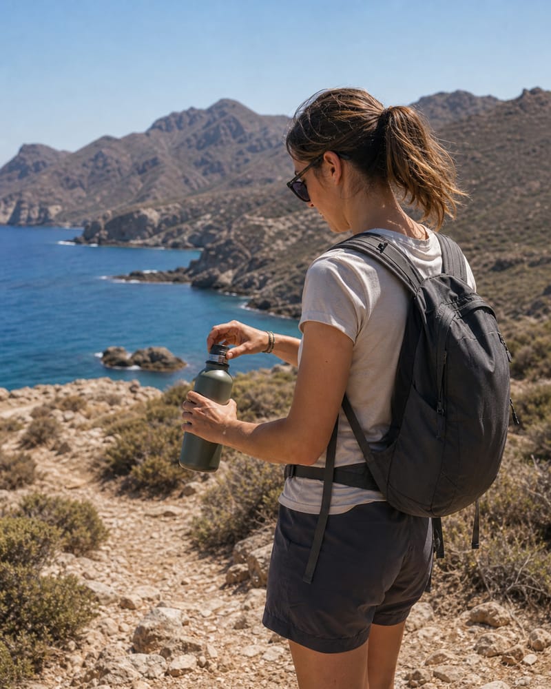
- Sun: shade, water and protection, above all in summer; the light that seduces also punishes.
And one more habit, an urban one: the Almedina, Pescadería and La Chanca are lived-in neighbourhoods, not stage sets, and are visited with the same discretion you would ask for on your own street. The same goes for places of memory, such as the shelters, which call for restraint rather than spectacle.
Sources
This guide rests on official sources; the facts on climate, monuments and natural areas come from them. Opening times, fees, bookings and transport change: always check the relevant official page before travelling.
- AEMET — Standard climate values, Almería Airport (1981–2010)
- Turismo de Almería — Municipal tourist office
- Junta de Andalucía — Monumental Ensemble of the Alcazaba
- Turismo de Almería — The Civil War shelters
- Museos de Andalucía — Museo de Almería
- Turismo de Almería — La Casa del Cine
- Turismo de Almería — El Cable Inglés
- Turismo de Almería — Cabo de Gata-Níjar natural park
- Turismo de Almería — Cabo de Gata route
- Turismo de Almería — Festivals and traditions